River CityShape the watershed
Water inventory24 / 24 accounted
Catchment tableWater follows slope and stays in the watershed ledger.
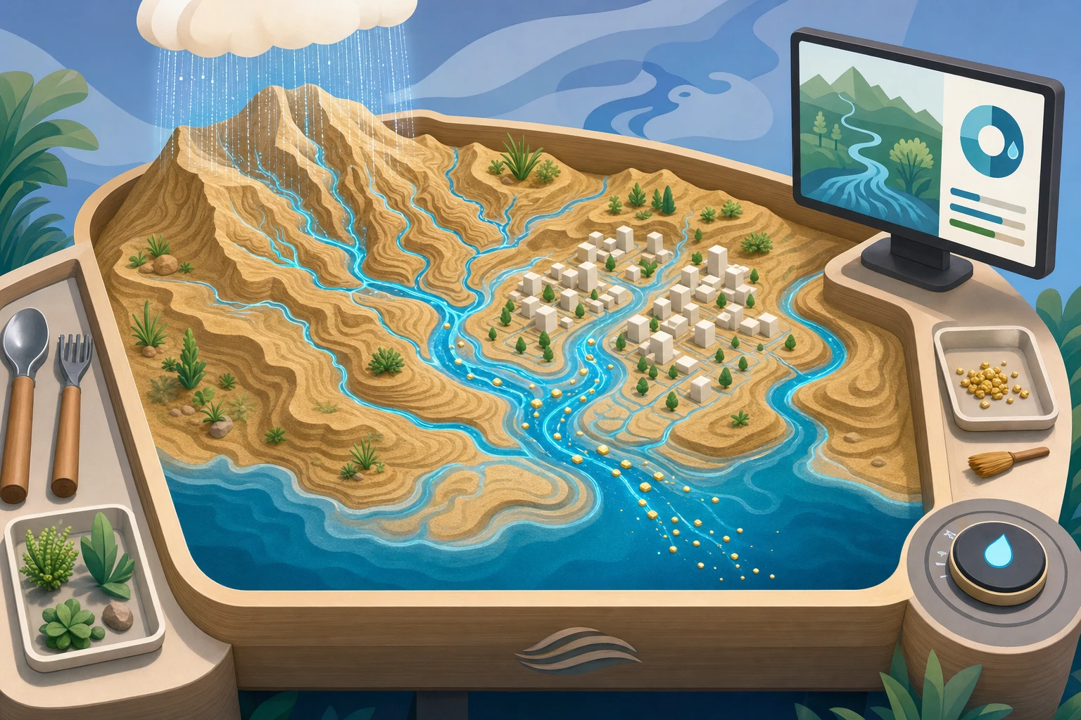
drainage divide
wetland storage
levee
rough planting
floodplain pond
River City
downstream→
Cclay
Ssand
Ggravel
1Outer bank erodes
2Neck narrows
3Cutoff → oxbow
→Flow continues downstream
BeforeTown: high / earlyDownstream: high / early
→
AfterTown: —Downstream: —
Select a plan to reveal where the water goes.
Cloud24
Hillslope0
Channel0
Storage0
Floodplain0
Outlet0
Sandbox
Shape a ridge, add rain, and find the drainage divide.
Every water token moves somewhere; none vanish behind an intervention.